Filters
Level
Grade
Subject
Subject Area
Subject Topic
Standard(s)
Audience
Keyword
DurationMinutes
Lesson Plans

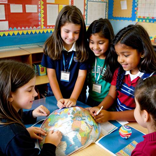
In this 4th-grade social studies lesson, students explore the importance of geography by learning about various countries and their cultural aspects. The lesson begins with an introduction to key geographic terms, followed by direct instruction on identifying continents, countries, and capital cities on a world map. Each student or small group is then assigned a specific country to research, helping them locate it on a blank outline map while illustrating cultural elements such as traditional food or landmarks.
Students create mini-posters that include essential information about their countries, allowing for creativity and personal expression. The lesson concludes with a sharing session where students present their posters, fostering a sense of community and appreciation for global diversity. Informal assessments occur throughout the lesson, with opportunities for further exploration through extension activities such as a cultural fair or pen-pal program. Adaptations are made to support diverse learners and challenge advanced students. Overall, the lesson aims to ignite curiosity about the world and its rich variety of cultures.
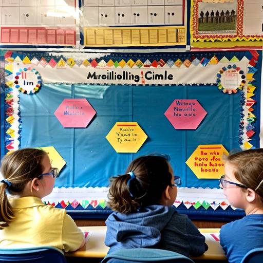
In this 4th-grade social studies lesson, students will explore the concept of timelines and their significance in understanding historical events. The lesson begins with an engaging introduction where students discuss important events from history and learn the basic structure and purpose of a timeline. After a demonstration of how to create a timeline, students will work in small groups using pre-printed event cards to arrange significant historical milestones in chronological order on blank timelines they will illustrate creatively.
Each group will then present their timelines to the class, discussing the events and their importance, which encourages collaboration and enhances public speaking skills. The lesson concludes with a reflection on the value of timelines in connecting events to help understand cause and effect in history. For homework, students will create a personal timeline highlighting important milestones in their own lives. Assessment will be based on group participation, the accuracy and creativity of the timelines created, and the completion of the personal timeline assignment. Extensions will be offered to enhance learning outcomes and provide opportunities for further research and digital engagement.
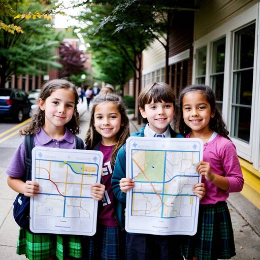
This lesson plan for 1st-grade social studies focuses on introducing students to basic geography and map concepts. It aims to help students understand important elements of maps, including symbols, legends, and cardinal directions. The lesson begins with a discussion about familiar locations in their neighborhood, leading to an exploration of map basics.
Students engage in identifying and discussing various symbols that represent different places. They then create their own neighborhood maps on blank paper, utilizing the symbols provided to accurately represent the locations and experiences they value. Through sharing their maps with peers, students develop communication skills while reinforcing their learning.
The conclusion part of the lesson involves a review of key concepts and encourages students to consider the significance of maps beyond their immediate surroundings. Assessment is based on participation and the creation of their maps, which serves to evaluate their understanding of the material. A follow-up activity suggests creating a collaborative classroom map, enhancing the lesson's focus on community and teamwork. Overall, the lesson combines creativity, engagement, and experiential learning in a structured format.
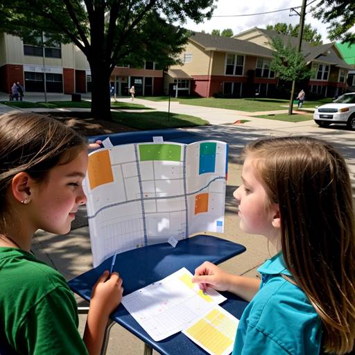
In this third-grade social studies lesson, students will explore geography and maps by learning about basic map symbols, cardinal directions, and the components of a map. The class will begin with a discussion about their neighborhood and the places they see daily. Through direct instruction, students will learn to identify and use map features such as legends and compass roses, followed by creating a simple map of their surroundings in small groups. As they collaborate on their maps, they will apply what they've learned about symbols and directions. Each group will then present their maps to the class, highlighting key locations and features. The lesson will conclude with a review of key concepts and an opportunity for students to reflect on their learning. Extension activities may include a neighborhood walk to observe real-life features and designing treasure maps with clues. This engaging and interactive lesson fosters teamwork while enhancing students’ understanding of geography.
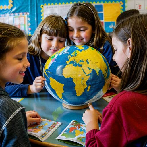
This 3rd-grade social studies lesson introduces students to the concepts of geography and countries through engaging activities. The lesson begins with a discussion where students share known countries, followed by an introduction to maps and key geographic terms. Students will then select a country of interest and work in pairs or small groups to research its location, capital, geographical features, and cultural aspects. Each student will create a presentation featuring a map, flag, and interesting facts about their chosen country. The lesson concludes with students sharing their presentations, fostering a collaborative learning environment that enhances their understanding of global diversity. Assessment will involve observing participation and reviewing the presentations for accuracy and creativity. Accommodations will be made to support students needing additional assistance, ensuring an inclusive learning experience.
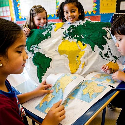
In this engaging social studies lesson for 2nd-grade students, learners will explore geography and different countries around the world. The session begins with an introduction to countries and continents using a world map, fostering an understanding of global diversity. Students will discuss various countries, discovering interesting cultural elements such as languages, foods, and traditions.
During a guided activity, students will locate and label selected countries on the map while participating in group discussions about personal connections to these places. For the independent activity, each student will research a specific country, creating a poster that highlights the country’s name, flag, and a unique cultural fact or element, thus encouraging creativity and personal expression.
The lesson concludes with students sharing their posters with the class, reinforcing their understanding of geography and cultural appreciation. Evaluation will focus on participation and the content of their posters, while extension activities may include a “Cultural Day” featuring food, games, or items from the represented countries. Overall, this lesson promotes awareness of the world’s diversity and the importance of understanding different cultures.
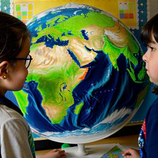
In this 2nd-grade social studies lesson, students will explore different types of landforms, including mountains, valleys, plains, hills, plateaus, rivers, and lakes. The lesson begins with an engaging introduction where students share their favorite outdoor places, leading to a discussion about the various shapes that make up our world. Using images, the teacher will guide students in describing the characteristics of each landform.
During the guided practice, students will collaborate with partners to share their thoughts on which landform they find most interesting. The main activity involves creating a colorful map where students can draw or paste images of landforms, allowing them to apply what they've learned creatively.
The lesson concludes with a gallery walk where students showcase their maps and participate in a reflective discussion to reinforce their understanding. Assessment will occur through observation during activities and the collection of maps to evaluate their identification and representation of landforms. Extension activities encourage further exploration and creativity, such as illustrating a landform book or virtual field trips to national parks.
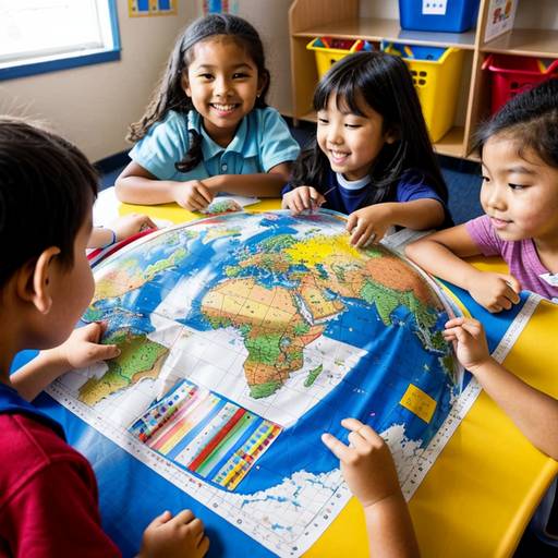
In this Kindergarten social studies lesson, students will explore basic geography concepts and map skills through engaging activities. The lesson begins with a lively discussion about maps, encouraging students to share their experiences and understanding. A read-aloud book introduces them to the idea of mapping personal and global spaces.
Direct instruction focuses on key map features such as the compass rose and different types of maps, including world and local maps. Students will then participate in a guided group activity where they create a simple map of their classroom or playground, demonstrating collaboration and creativity.
Following this, they will individually draw maps of their homes or favorite places, incorporating essential elements like landmarks and the compass rose. The lesson concludes with a class discussion where students have the opportunity to share and reflect on what they learned. Throughout the session, assessments will be made through observation and reviewing students' completed maps, ensuring all learners are supported and challenged accordingly. Extensions and differentiation strategies are also provided to enhance engagement and accommodate varying learning needs.
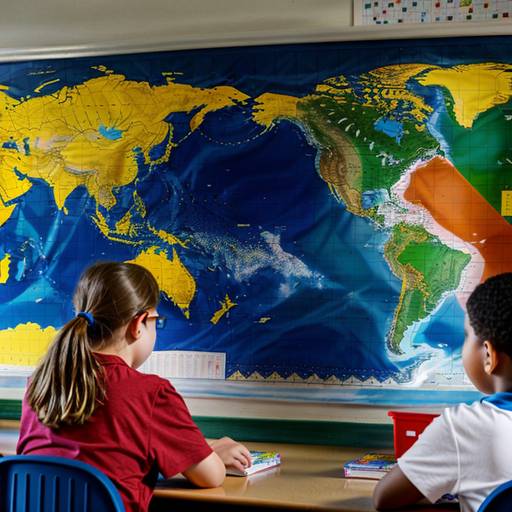
In this 4th-grade social studies lesson, students will explore the purpose and types of maps, gaining an understanding of key features such as legends, scales, and compass roses. The lesson begins with a discussion about maps and their uses, followed by an introduction to various types of maps, including political, physical, and thematic maps. Students will then learn about important components of maps through examples.
The heart of the lesson involves a hands-on mapping activity, where students will create their own maps of familiar places, incorporating at least three landmarks, a compass rose, and a simple legend. They will have the opportunity to share their creations with peers, fostering both creativity and collaboration. The lesson concludes with a reflection on the significance of maps in understanding geography. Assessment will be based on participation, the accuracy of maps, and the inclusion of required features. Optional extensions and adaptations are provided to enhance learning for all students.
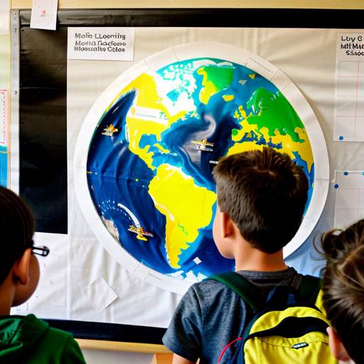
In this 5th-grade social studies lesson, students will explore various landforms and their significance to both the environment and human activities. The lesson begins with a visual introduction featuring different landforms, followed by a class discussion to activate prior knowledge. The teacher will present key terms and characteristics of each landform while guiding students in locating them on a world map.
Students will then engage in group work, conducting research on assigned landforms and creating mini-posters that include essential information about their features and importance. This will be complemented by an independent activity where each student creates a personalized map showcasing at least three different landforms, complete with labels and descriptions.
The lesson concludes with group presentations and a class discussion, encouraging students to share their thoughts on which landforms interested them the most. Assessment will focus on student participation, the accuracy of worksheets and projects, and the creativity displayed in their individual mappings. Differentiation strategies will be utilized to support learners at varying levels, with extensions available for those interested in further exploration of the subject. Overall, this lesson aims to deepen students' understanding of geography and the impact of landforms on life and the environment.