

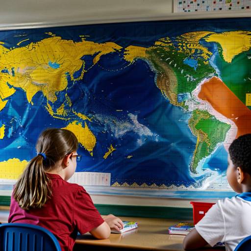
In this 4th-grade social studies lesson, students will explore the purpose and types of maps, gaining an understanding of key features such as legends, scales, and compass roses. The lesson begins with a discussion about maps and their uses, followed by an introduction to various types of maps, including political, physical, and thematic maps. Students will then learn about important components of maps through examples.
The heart of the lesson involves a hands-on mapping activity, where students will create their own maps of familiar places, incorporating at least three landmarks, a compass rose, and a simple legend. They will have the opportunity to share their creations with peers, fostering both creativity and collaboration. The lesson concludes with a reflection on the significance of maps in understanding geography. Assessment will be based on participation, the accuracy of maps, and the inclusion of required features. Optional extensions and adaptations are provided to enhance learning for all students.
| Level | Elementary School |
| Grade | 4th Grade |
| Subject | Social Studies |
| Subject Area | Geography |
| Subject Topic | Maps |
| Age Range | 9 to 10 |
| Audience | Group |
| Language | English |
| Duration | 60 mins |