

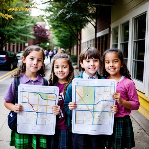
Mapping Our Neighborhood Adventure
This lesson plan for 1st-grade social studies focuses on introducing students to basic geography and map concepts. It aims to help students understand important elements of maps, including symbols, legends, and cardinal directions. The lesson begins with a discussion about familiar locations in their neighborhood, leading to an exploration of map basics.
Students engage in identifying and discussing various symbols that represent different places. They then create their own neighborhood maps on blank paper, utilizing the symbols provided to accurately represent the locations and experiences they value. Through sharing their maps with peers, students develop communication skills while reinforcing their learning.
The conclusion part of the lesson involves a review of key concepts and encourages students to consider the significance of maps beyond their immediate surroundings. Assessment is based on participation and the creation of their maps, which serves to evaluate their understanding of the material. A follow-up activity suggests creating a collaborative classroom map, enhancing the lesson's focus on community and teamwork. Overall, the lesson combines creativity, engagement, and experiential learning in a structured format.
| Level | Elementary School |
| Grade | 1st Grade |
| Subject | Social Studies |
| Subject Area | Geography |
| Subject Topic | Maps |
| Age Range | 6 to 7 |
| Audience | Group |
| Language | English |
| Duration | 60 mins |