
Filters
Level
Grade
Subject
Subject Area
Subject Topic
Standard(s)
Audience
Keyword
DurationMinutes
4th Grade Maps Lesson Plans

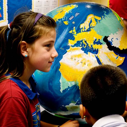
In this 4th-grade social studies lesson, students will explore the essential components of maps, including title, legend, scale, and symbols. The lesson begins with an engaging discussion about world and local maps, followed by a demonstration on how to interpret a simple map. In small groups, students will analyze a local map, highlighting important locations and creating a legend to represent them. For independent practice, each student will draw their own map of a familiar area, incorporating various map elements and showcasing their creativity. The lesson concludes with a sharing session where students present their maps to the class. Assessment will focus on participation, understanding of map components, and creativity in their map designs. Adaptations will be provided for students needing additional support, and follow-up activities may include a classroom mural and a field trip to reinforce the concepts learned.
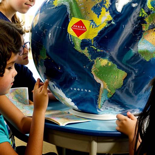
This lesson plan focuses on introducing 4th-grade students to the concepts of geography and maps. The objective is for students to understand key elements of maps, including titles, scales, legends, and compass roses. The lesson begins with an engaging discussion that prompts students to think about the importance of maps.
Direct instruction involves explaining essential map features using a projector to display examples. Guided practice includes completing worksheets that reinforce knowledge of map elements through various exercises, followed by group discussions to promote collaboration.
Students then move into a hands-on activity where they create their own maps of a favorite location, incorporating essential elements learned earlier. This creative component encourages students to use their imagination and apply their understanding of mapping. The lesson concludes with a recap of key concepts and prompts students to consider the role of maps in their daily lives.
Assessment focuses on evaluating students' understanding through completed worksheets and their personalized maps. The lesson also includes extensions and adaptations to meet diverse learners' needs, fostering both creativity and collaboration among peers.
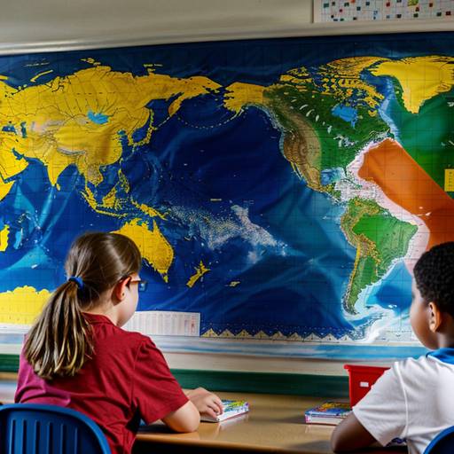
In this 4th-grade social studies lesson, students will explore the purpose and types of maps, gaining an understanding of key features such as legends, scales, and compass roses. The lesson begins with a discussion about maps and their uses, followed by an introduction to various types of maps, including political, physical, and thematic maps. Students will then learn about important components of maps through examples.
The heart of the lesson involves a hands-on mapping activity, where students will create their own maps of familiar places, incorporating at least three landmarks, a compass rose, and a simple legend. They will have the opportunity to share their creations with peers, fostering both creativity and collaboration. The lesson concludes with a reflection on the significance of maps in understanding geography. Assessment will be based on participation, the accuracy of maps, and the inclusion of required features. Optional extensions and adaptations are provided to enhance learning for all students.
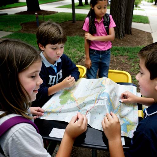
In this 4th-grade social studies lesson, students will explore key geographic concepts while learning about maps and their significance in understanding their neighborhoods. The lesson begins with an engaging discussion on students' experiences with maps, introducing essential terms such as scale, symbols, and cardinal directions. Following this, the teacher demonstrates how to create a basic neighborhood map, highlighting the use of a compass rose, legend, and simple symbols to represent various features.
Students will then participate in a guided activity where they create their own maps, either of imaginary or real neighborhoods, incorporating the elements discussed. They will share their maps with a partner for feedback, encouraging collaboration and communication. The lesson concludes with a class sharing session, where selected students present their maps and reflect on the diverse features included.
Assessment will focus on student participation, the creativity of their maps, and the accuracy of map elements. Extension activities, such as a neighborhood walk or introducing digital mapping tools, will further enrich the learning experience. Adaptations will be provided to support varying student needs, ensuring all learners can engage with the content effectively.