

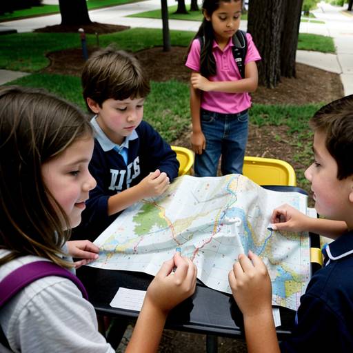
In this 4th-grade social studies lesson, students will explore key geographic concepts while learning about maps and their significance in understanding their neighborhoods. The lesson begins with an engaging discussion on students' experiences with maps, introducing essential terms such as scale, symbols, and cardinal directions. Following this, the teacher demonstrates how to create a basic neighborhood map, highlighting the use of a compass rose, legend, and simple symbols to represent various features.
Students will then participate in a guided activity where they create their own maps, either of imaginary or real neighborhoods, incorporating the elements discussed. They will share their maps with a partner for feedback, encouraging collaboration and communication. The lesson concludes with a class sharing session, where selected students present their maps and reflect on the diverse features included.
Assessment will focus on student participation, the creativity of their maps, and the accuracy of map elements. Extension activities, such as a neighborhood walk or introducing digital mapping tools, will further enrich the learning experience. Adaptations will be provided to support varying student needs, ensuring all learners can engage with the content effectively.
| Level | Elementary School |
| Grade | 4th Grade |
| Subject | Social Studies |
| Subject Area | Geography |
| Subject Topic | Maps |
| Age Range | 9 to 10 |
| Audience | Group |
| Language | English |
| Duration | 60 mins |