
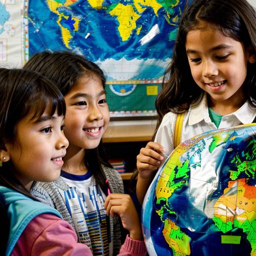
In this 1st grade social studies lesson, students will explore basic geographical concepts and the use of maps. The lesson begins with a discussion about maps and globes, allowing students to share their prior knowledge. Through direct instruction, they will learn about land, water, symbols, and the compass rose using a large world map.
During guided practice, students will work in pairs to identify and discuss symbols on printed maps. Following this, they will engage in a creative activity where they design their own simple maps of a room, incorporating recognizable symbols. The lesson concludes with students sharing their maps with the class, reflecting on what they learned by writing notes for a classroom display.
Assessment will be conducted through observation during activities and map collection for feedback. Additional extensions will be offered for students who quickly grasp the concepts, including creating treasure maps. The lesson aims to foster curiosity about geography and the importance of maps in understanding the world.
| Level | Elementary School |
| Grade | 1st Grade |
| Subject | Social Studies |
| Subject Area | Geography |
| Subject Topic | Maps |
| Age Range | 6 to 7 |
| Audience | Group |
| Language | English |
| Duration | 60 mins |