Filters
Level
Grade
Subject
Subject Area
Subject Topic
Standard(s)
Audience
Keyword
DurationMinutes
3rd Grade Geography Lesson Plans

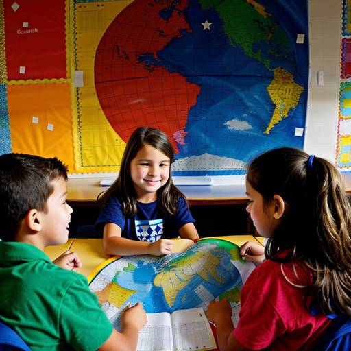
This 3rd-grade social studies lesson focuses on geography and maps, designed to help students understand basic map elements and key geographical features. The lesson begins with an engaging discussion about maps and their uses. Students learn about essential map components, including titles, legends, scales, and compass roses, using both printed and projected examples for clarity.
Through guided practice, students identify these elements on various maps and locate specific geographical features such as mountains, rivers, and cities. In an independent activity, students create their own simple maps of their classroom, incorporating at least three distinct areas and including essential map features.
The lesson concludes with students presenting their maps to the class, allowing them to share their understanding and creativity. Assessment involves observing participation during activities and reviewing the students' maps for comprehension. Differentiation strategies are included to support diverse learning needs, ensuring all students engage meaningfully with the content.
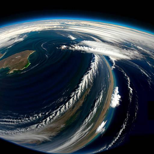
In this 3rd-grade social studies lesson, students will explore various landforms, including mountains, valleys, hills, plains, rivers, and lakes, while developing their understanding of geography. The lesson begins with a visual introduction where students identify different landforms from pictures and share personal experiences related to them. Through direct instruction, students learn the characteristics of each landform and see real-world examples on a map or globe.
Following this, students engage in a group sorting activity, organizing landform cards to reinforce their understanding. For independent practice, they create a fictional landform map that includes at least three different types of landforms, labeling and coloring their creations. The lesson concludes with a gallery walk, allowing students to share their maps and favorite landforms with their peers. Assessment is based on participation in discussions, group activities, and the creativity displayed in their maps. Extensions are provided for early finishers to further explore geography and geology.
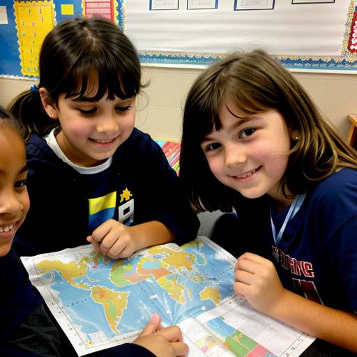
In this 3rd-grade social studies lesson focused on geography and maps, students will explore the essential components of maps, such as the legend, title, compass rose, and scale. The lesson begins with an engaging discussion about maps, where students share their experiences and observations. Using printed examples, the teacher demonstrates key map features and symbols.
During guided practice, students work in small groups to create a map of their classroom or playground, incorporating the components learned. Each group presents their map to the class, explaining their symbols and choices. Following this, students independently design their personal map of a familiar location, including essential map elements and writing a reflective paragraph about the importance of maps in daily life.
The lesson concludes with a review of key concepts and an exit ticket for each student to share their newfound knowledge. Assessment is conducted through group presentations and individual map evaluations. Extension activities may be provided for advanced learners, while additional support is available for those needing assistance. Overall, students will gain a foundational understanding of maps and their significance in navigating our world.
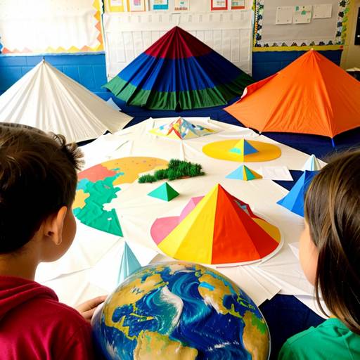
This lesson plan for 3rd graders focuses on geography and landforms, aiming to help students identify and understand various types of landforms, including mountains, valleys, plains, and rivers. The lesson begins with an interactive discussion about geography, where students share what they know about landforms. It then includes a presentation that defines each landform and discusses its importance to the environment and human life.
Students engage in a hands-on activity where they create their own maps using colored pencils to illustrate different landforms creatively. They work in small groups matching flashcards with definitions and pictures, reinforcing their learning through collaboration. The lesson concludes with a fun game of “Landform Bingo,” allowing students to test their knowledge in an engaging way.
Assessment is conducted through observation during activities and the evaluation of completed maps. To extend learning beyond the classroom, students are assigned a homework task to find pictures of landforms to share with their peers in the next session. Overall, the lesson promotes active participation, teamwork, and creativity while deepening students' understanding of landforms and their significance.
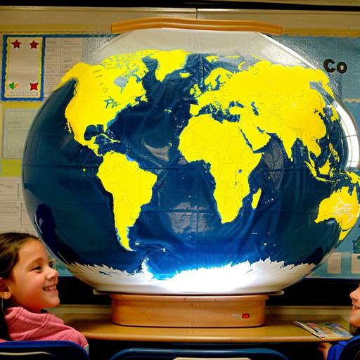
This lesson plan for 3rd-grade students focuses on introducing basic geography concepts and cultural awareness through the exploration of various countries. Over the course of an hour, students will learn to identify and locate different countries on a world map and discover key cultural aspects such as language, food, and traditions associated with selected countries. The lesson begins with a discussion about geography, followed by direct instruction featuring 3-5 specific countries. Students will then engage in guided and independent practice by coloring country outlines and creating cultural fact cards that include essential information about their chosen country. The lesson concludes with opportunities for students to share their work with peers, promoting collaboration and communication. Assessment is based on participation and the completion of the fact cards. Extensions for the lesson encourage further exploration of cultures, such as pen pal exchanges and a cultural day event. Overall, the lesson aims to foster curiosity and respect for diversity while developing foundational geography skills.
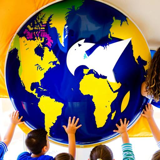
In this third-grade social studies lesson, students will explore geography and cultures from around the world. They will start by discussing the concept of geography and identifying various countries on a world map. The teacher will introduce a few selected countries, sharing interesting facts about their geographical features and cultural highlights. Students will then work in small groups, each assigned a different country, to complete a country profile worksheet that includes location, flag, geography, and cultural aspects. This promotes research skills and teamwork. Each group will present their findings to the class, fostering communication and engagement. The lesson concludes with a recap of the significance of geography and culture in connecting people globally. Optional extension activities and differentiation strategies are included to meet diverse learning needs, ensuring all students can participate meaningfully.
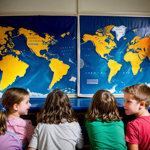
In this 3rd-grade social studies lesson plan, students will explore the concepts of geography and maps through interactive discussions and hands-on activities. The objectives include identifying key components of maps, understanding different types of maps, and creating their own simple maps. The lesson begins with an engaging introduction to maps, followed by group activities where students examine various map types and present their findings. For the independent activity, students will draw a map of their classroom or school, incorporating essential elements such as the title, legend, scale, and compass rose. The lesson concludes with a gallery walk, allowing students to showcase their work and provide feedback to peers. Assessment will focus on participation, the completeness and creativity of the maps, and a reflection quiz to reinforce learning. Differentiation strategies are included to support diverse learning needs, and extension activities are suggested for further exploration of geography and mapping skills.
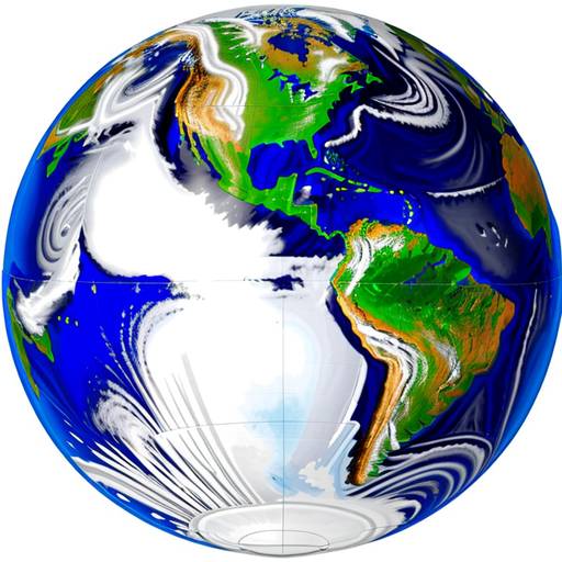
In this 3rd-grade social studies lesson, students will explore various landforms, including mountains, valleys, hills, plateaus, and plains. The lesson begins with an engaging discussion that prompts students to share their prior knowledge about these geographic features. Throughout the lesson, the teacher will introduce each landform through images and descriptions, encouraging students to relate them to local examples.
Students will then participate in a hands-on project where they work in small groups to create models of assigned landforms using clay or playdough. This activity not only promotes teamwork but also allows students to physically represent the characteristics of each landform. After completing their models, groups will present their creations to the class, detailing their landform’s features and significance.
The lesson concludes with a review of the key concepts learned, followed by a reflective discussion about the importance of landforms in shaping human life and the environment. Students will complete an exit ticket activity that reinforces their understanding by matching landforms with pictures and writing down a fact they learned. Assessment will be based on participation, creativity in the project, and comprehension demonstrated in the exit ticket. Opportunities for extension are provided for those who want to delve deeper into famous landforms around the world.
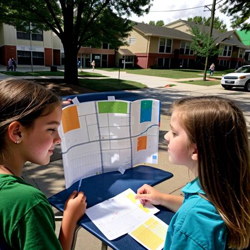
In this third-grade social studies lesson, students will explore geography and maps by learning about basic map symbols, cardinal directions, and the components of a map. The class will begin with a discussion about their neighborhood and the places they see daily. Through direct instruction, students will learn to identify and use map features such as legends and compass roses, followed by creating a simple map of their surroundings in small groups. As they collaborate on their maps, they will apply what they've learned about symbols and directions. Each group will then present their maps to the class, highlighting key locations and features. The lesson will conclude with a review of key concepts and an opportunity for students to reflect on their learning. Extension activities may include a neighborhood walk to observe real-life features and designing treasure maps with clues. This engaging and interactive lesson fosters teamwork while enhancing students’ understanding of geography.
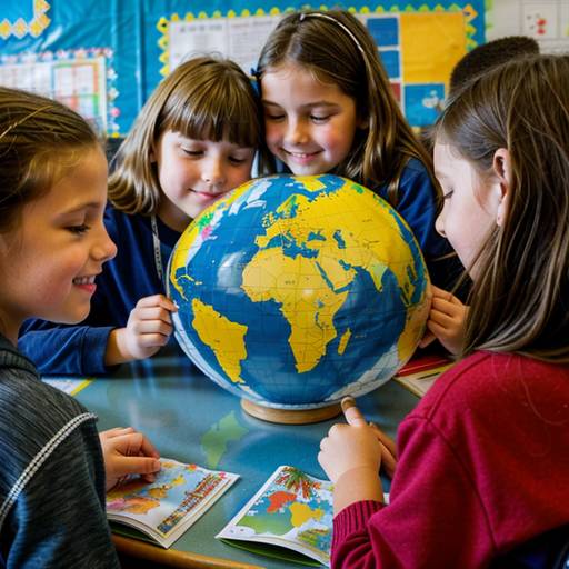
This 3rd-grade social studies lesson introduces students to the concepts of geography and countries through engaging activities. The lesson begins with a discussion where students share known countries, followed by an introduction to maps and key geographic terms. Students will then select a country of interest and work in pairs or small groups to research its location, capital, geographical features, and cultural aspects. Each student will create a presentation featuring a map, flag, and interesting facts about their chosen country. The lesson concludes with students sharing their presentations, fostering a collaborative learning environment that enhances their understanding of global diversity. Assessment will involve observing participation and reviewing the presentations for accuracy and creativity. Accommodations will be made to support students needing additional assistance, ensuring an inclusive learning experience.