Filters
Level
Grade
Subject
Subject Area
Subject Topic
Standard(s)
Audience
Keyword
DurationMinutes
5th Grade Maps Lesson Plans


This 5th-grade social studies lesson focuses on introducing students to various types of maps, including physical, political, and thematic maps. Students will learn about the purpose of each map type through group discussions and presentations. The lesson includes an exploration of map symbols and the importance of the compass rose for navigation.
As part of the hands-on activity, students will create their own maps of a familiar area, incorporating key features, symbols, and a compass rose. They will then share their maps with a partner to explain their choices. The lesson concludes with a class discussion, allowing students to highlight interesting aspects of their maps. Assessment will be based on participation and the quality of the completed maps. Extensions include exploring digital mapping tools and researching specific locations to create thematic maps, ensuring that the lesson caters to different learning levels.
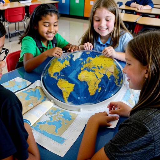
This lesson plan is designed for 5th-grade students to explore the concepts of geography and maps over two class periods. The first day focuses on introducing essential map components, including legends, scales, and compass roses. Students engage in discussions and group activities to analyze different types of maps, helping them to understand how to read and interpret them effectively.
On the second day, students apply their knowledge by creating their own fictional island maps, incorporating the elements they've learned. This hands-on activity encourages creativity while reinforcing the importance of map features. Students then share their maps with the class, promoting discussion and collaboration. Assessment is conducted through both formative and summative methods, ensuring students grasp map concepts while enjoying the creative process. Additionally, opportunities for technology integration and cross-curricular connections enhance the learning experience.
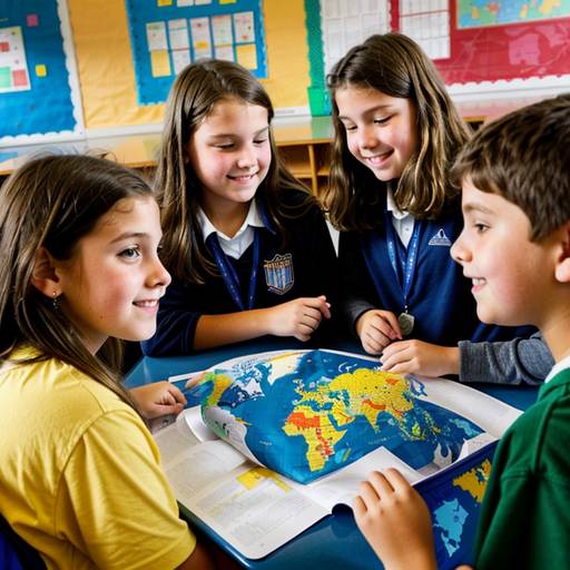
In this 5th-grade social studies lesson, students will explore the key elements and purposes of maps, including types such as political, physical, and thematic. The class will begin with a discussion about the importance of maps, followed by direct instruction on essential map features such as title, legend, scale, compass rose, and latitude and longitude. Students will then create their own simple maps of their local area using graph paper, incorporating all required elements. During guided practice, they will work in pairs to share their maps and explain their features. The lesson will conclude with presentations from a few students and a reinforcement of the role maps play in everyday life. Assessment will involve evaluating the maps based on creativity and inclusion of necessary elements, along with a quiz on the concepts covered. Extensions may include exploring digital mapping tools and further research on maps from different countries. Overall, the lesson aims to build students' understanding of geography through interactive and creative activities.
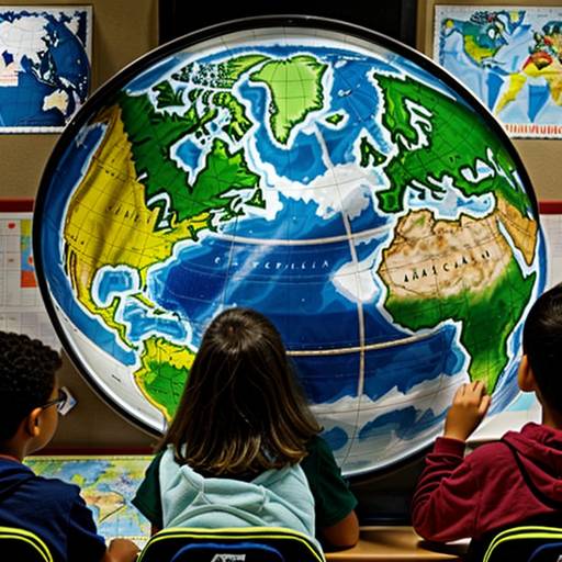
In this 5th-grade social studies lesson, students will explore the fundamental concepts of geography and map features. The lesson begins with a discussion where students share their prior knowledge about maps, followed by an introduction to key map elements such as titles, legends, scales, and compass roses. Students will engage in guided practice by identifying continents, oceans, and major countries on a world map, using color-coding for visual differentiation.
Next, students will apply their understanding by creating their own fictional maps, incorporating essential features like a title, compass rose, and a legend for significant landmarks. This creative activity encourages individuality and artistic expression. The lesson concludes with a sharing session, allowing students to present their maps and explain the choices they made.
Assessment will be conducted informally through observation and evaluation of the finished maps, focusing on the inclusion of required elements and creativity. Extensions could involve researching a specific country or creating a collaborative class map. Overall, the lesson aims to build students' geographic skills and foster a deeper appreciation for maps and their practical applications in everyday life.