
Filters
Level
Grade
Subject
Subject Area
Subject Topic
Standard(s)
Audience
Keyword
DurationMinutes
5th Grade Landforms Lesson Plans

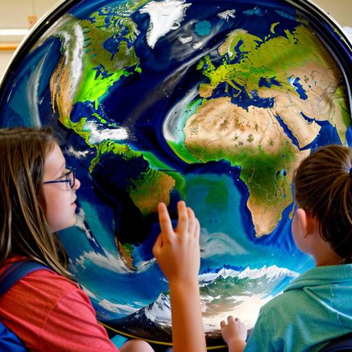
In this 5th-grade social studies lesson focused on geography and landforms, students will explore various types of landforms, including mountains, rivers, valleys, plains, and deserts. The lesson begins with a class discussion, where students share their prior knowledge and experiences related to geography. Instructors will use a world map and visual aids to introduce and describe each landform, highlighting how these features influence climate, habitats, and human activities.
Students will then participate in a group activity, creating drawings and presentations that illustrate key characteristics of specific landforms. Afterward, they will engage in an individual project to design their own maps, incorporating at least three different landforms and labeling them appropriately. The lesson concludes with students sharing their maps and reflecting on their learning experiences.
Assessment will be based on observation during group presentations and the creativity and accuracy of their individual maps. Extensions include opportunities for students to research specific landforms in their hometowns or take virtual field trips to see actual geographic features. Overall, this lesson aims to enhance students' understanding of geography and the significance of landforms in their everyday lives.
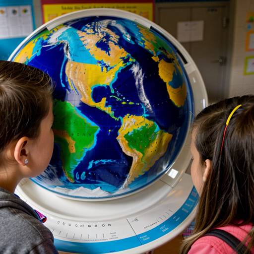
This 5th-grade social studies lesson focuses on geography and landforms, aiming to enhance students' understanding of various landforms such as mountains, valleys, plains, plateaus, hills, and deserts. Over two class periods, students will engage in interactive discussions, explore essential vocabulary, and watch informative presentations about how these landforms are formed and where they can be found around the world.
In small groups, students will research a specific landform and prepare presentations to share their findings with the class. The lesson culminates in a collaborative activity where students will create a colorful, labeled landform map, incorporating 3D elements to represent the different geographical features they have studied.
Students will be evaluated based on their group presentations, participation in creating the map, and understanding demonstrated through a brief quiz. The lesson encourages hands-on learning and critical thinking, fostering a deeper appreciation for Earth’s diverse landscapes and their importance in geography. Extensions such as individual projects and potential field trips can further enhance the learning experience.
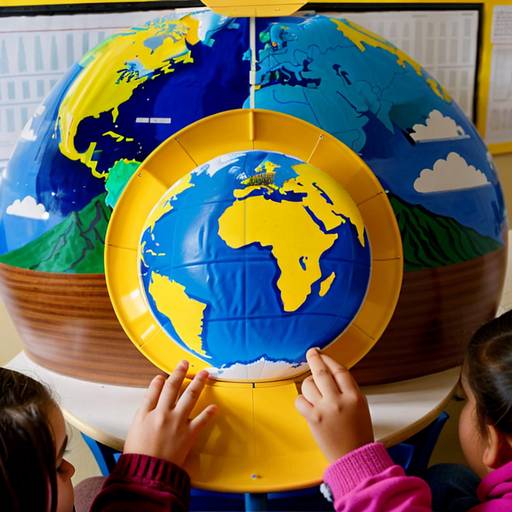
In this two-day lesson plan for 5th graders, students will explore the topic of geography and landforms through both interactive discussions and hands-on activities. The lesson begins with a brainstorming session where students share their existing knowledge about landforms. This is followed by a direct instruction segment that introduces various types of landforms, using pictures and a short video to illustrate their characteristics and formation processes.
On the second day, students will participate in group presentations, allowing them to delve deeper into specific landforms and share their findings with classmates. After the presentations, students will create their own maps—either physical or digital—that feature at least five different landforms. They will label each landform and provide descriptions of their characteristics, fostering creativity and individuality in their projects.
Throughout the lesson, students will actively engage in discussions, collaborate in groups, and apply what they've learned through the map creation activity. Assessment will focus on participation, the creativity of the map projects, and the presentations. Differentiation strategies will be implemented to support various learning needs, ensuring all students can successfully engage with the material. Follow-up activities will reinforce learning while encouraging students to connect their knowledge to their local environment.
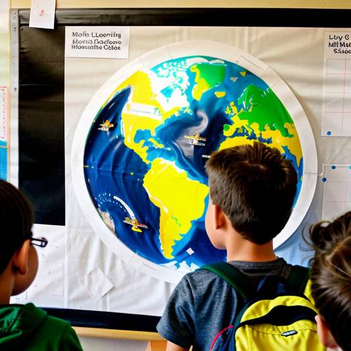
In this 5th-grade social studies lesson, students will explore various landforms and their significance to both the environment and human activities. The lesson begins with a visual introduction featuring different landforms, followed by a class discussion to activate prior knowledge. The teacher will present key terms and characteristics of each landform while guiding students in locating them on a world map.
Students will then engage in group work, conducting research on assigned landforms and creating mini-posters that include essential information about their features and importance. This will be complemented by an independent activity where each student creates a personalized map showcasing at least three different landforms, complete with labels and descriptions.
The lesson concludes with group presentations and a class discussion, encouraging students to share their thoughts on which landforms interested them the most. Assessment will focus on student participation, the accuracy of worksheets and projects, and the creativity displayed in their individual mappings. Differentiation strategies will be utilized to support learners at varying levels, with extensions available for those interested in further exploration of the subject. Overall, this lesson aims to deepen students' understanding of geography and the impact of landforms on life and the environment.