Filters
Level
Grade
Subject
Subject Area
Subject Topic
Standard(s)
Audience
Keyword
DurationMinutes
3rd Grade Maps Lesson Plans

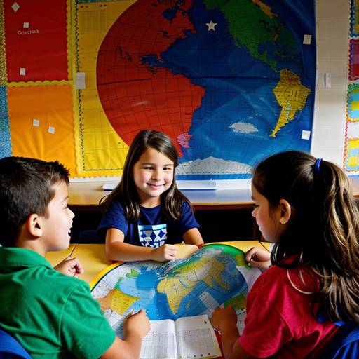
This 3rd-grade social studies lesson focuses on geography and maps, designed to help students understand basic map elements and key geographical features. The lesson begins with an engaging discussion about maps and their uses. Students learn about essential map components, including titles, legends, scales, and compass roses, using both printed and projected examples for clarity.
Through guided practice, students identify these elements on various maps and locate specific geographical features such as mountains, rivers, and cities. In an independent activity, students create their own simple maps of their classroom, incorporating at least three distinct areas and including essential map features.
The lesson concludes with students presenting their maps to the class, allowing them to share their understanding and creativity. Assessment involves observing participation during activities and reviewing the students' maps for comprehension. Differentiation strategies are included to support diverse learning needs, ensuring all students engage meaningfully with the content.
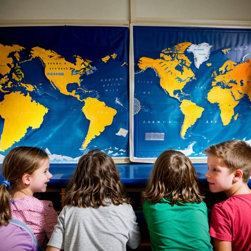
In this 3rd-grade social studies lesson plan, students will explore the concepts of geography and maps through interactive discussions and hands-on activities. The objectives include identifying key components of maps, understanding different types of maps, and creating their own simple maps. The lesson begins with an engaging introduction to maps, followed by group activities where students examine various map types and present their findings. For the independent activity, students will draw a map of their classroom or school, incorporating essential elements such as the title, legend, scale, and compass rose. The lesson concludes with a gallery walk, allowing students to showcase their work and provide feedback to peers. Assessment will focus on participation, the completeness and creativity of the maps, and a reflection quiz to reinforce learning. Differentiation strategies are included to support diverse learning needs, and extension activities are suggested for further exploration of geography and mapping skills.
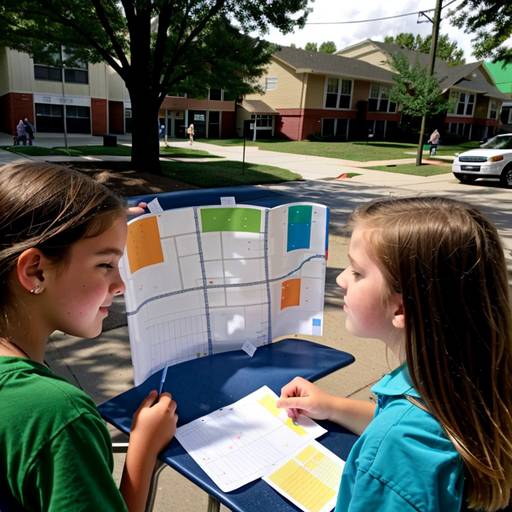
In this third-grade social studies lesson, students will explore geography and maps by learning about basic map symbols, cardinal directions, and the components of a map. The class will begin with a discussion about their neighborhood and the places they see daily. Through direct instruction, students will learn to identify and use map features such as legends and compass roses, followed by creating a simple map of their surroundings in small groups. As they collaborate on their maps, they will apply what they've learned about symbols and directions. Each group will then present their maps to the class, highlighting key locations and features. The lesson will conclude with a review of key concepts and an opportunity for students to reflect on their learning. Extension activities may include a neighborhood walk to observe real-life features and designing treasure maps with clues. This engaging and interactive lesson fosters teamwork while enhancing students’ understanding of geography.