Filters
Level
Grade
Subject
Subject Area
Subject Topic
Standard(s)
Audience
Keyword
DurationMinutes
3rd Grade Landforms Lesson Plans


In this 3rd-grade social studies lesson, students will explore various landforms, including mountains, valleys, hills, plains, rivers, and lakes, while developing their understanding of geography. The lesson begins with a visual introduction where students identify different landforms from pictures and share personal experiences related to them. Through direct instruction, students learn the characteristics of each landform and see real-world examples on a map or globe.
Following this, students engage in a group sorting activity, organizing landform cards to reinforce their understanding. For independent practice, they create a fictional landform map that includes at least three different types of landforms, labeling and coloring their creations. The lesson concludes with a gallery walk, allowing students to share their maps and favorite landforms with their peers. Assessment is based on participation in discussions, group activities, and the creativity displayed in their maps. Extensions are provided for early finishers to further explore geography and geology.
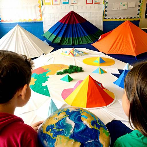
This lesson plan for 3rd graders focuses on geography and landforms, aiming to help students identify and understand various types of landforms, including mountains, valleys, plains, and rivers. The lesson begins with an interactive discussion about geography, where students share what they know about landforms. It then includes a presentation that defines each landform and discusses its importance to the environment and human life.
Students engage in a hands-on activity where they create their own maps using colored pencils to illustrate different landforms creatively. They work in small groups matching flashcards with definitions and pictures, reinforcing their learning through collaboration. The lesson concludes with a fun game of “Landform Bingo,” allowing students to test their knowledge in an engaging way.
Assessment is conducted through observation during activities and the evaluation of completed maps. To extend learning beyond the classroom, students are assigned a homework task to find pictures of landforms to share with their peers in the next session. Overall, the lesson promotes active participation, teamwork, and creativity while deepening students' understanding of landforms and their significance.