
Filters
Level
Grade
Subject
Subject Area
Subject Topic
Standard(s)
Audience
Keyword
DurationMinutes
2nd Grade Landforms Lesson Plans

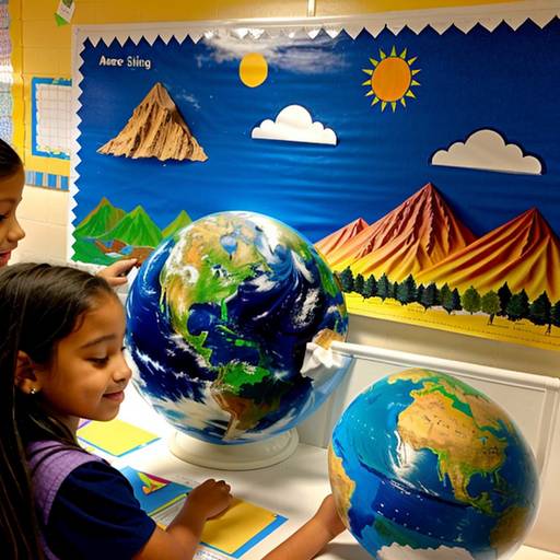
In this 2nd-grade social studies lesson, students will engage in a hands-on exploration of various landforms and their characteristics. The lesson begins with a discussion about what landforms are, complemented by a visual presentation using a world map or globe to identify mountains, valleys, hills, and plains.
Students will work in small groups to create models of their chosen landform using modeling clay or playdough, promoting collaboration and creativity. Each group will present their landform to the class, explaining its features and common locations. To conclude, students will complete a worksheet where they draw and label their favorite landform along with an interesting fact they learned.
Assessment will be based on participation, the quality of the models, and the worksheets. The lesson includes extensions such as reading related literature about landforms and a potential field trip to observe landforms in a local park, ensuring engagement and understanding while catering to diverse learning needs.

In this 60-minute social studies lesson for 2nd grade, students will explore geography and various landforms, including mountains, hills, valleys, rivers, lakes, and deserts. The lesson begins with a discussion to activate prior knowledge, followed by direct instruction using picture cards and a world map to illustrate characteristics and examples of each landform. In small groups, students will create posters detailing their assigned landform, including drawings and facts, which they will then present to the class. Each student will also design their own landform map featuring at least three types of landforms, labeling them accordingly. The lesson concludes with sharing maps and a review of key concepts learned. Assessment will focus on participation, group work, and the individual map creation. Adaptations and extensions are provided to accommodate varying student needs and to deepen the learning experience in future lessons.
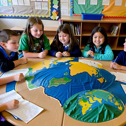
In this 2nd-grade social studies lesson, students will explore various landforms such as mountains, valleys, rivers, plains, and deserts. The session begins with a discussion about Earth's surface and an introduction to landforms, accompanied by a world map or globe to identify where these features can be found. Following direct instruction, students will work in small groups to create a "Landforms Map" using pre-printed images and art supplies. They will present their maps to the class, sharing descriptions and interesting facts about the landforms they've included. The lesson concludes with a recap that highlights the relationship between landforms and human life. Assessment will focus on student participation and the accuracy of their maps, while extensions may involve homework that encourages individual creativity and further exploration of landforms in different countries. Overall, the lesson fosters engagement with geography through interactive learning and collaboration.
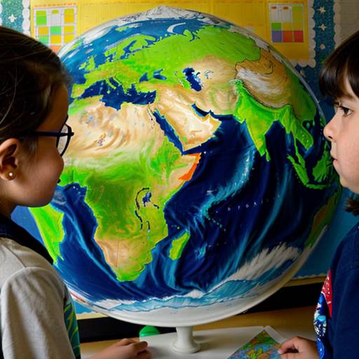
In this 2nd-grade social studies lesson, students will explore different types of landforms, including mountains, valleys, plains, hills, plateaus, rivers, and lakes. The lesson begins with an engaging introduction where students share their favorite outdoor places, leading to a discussion about the various shapes that make up our world. Using images, the teacher will guide students in describing the characteristics of each landform.
During the guided practice, students will collaborate with partners to share their thoughts on which landform they find most interesting. The main activity involves creating a colorful map where students can draw or paste images of landforms, allowing them to apply what they've learned creatively.
The lesson concludes with a gallery walk where students showcase their maps and participate in a reflective discussion to reinforce their understanding. Assessment will occur through observation during activities and the collection of maps to evaluate their identification and representation of landforms. Extension activities encourage further exploration and creativity, such as illustrating a landform book or virtual field trips to national parks.